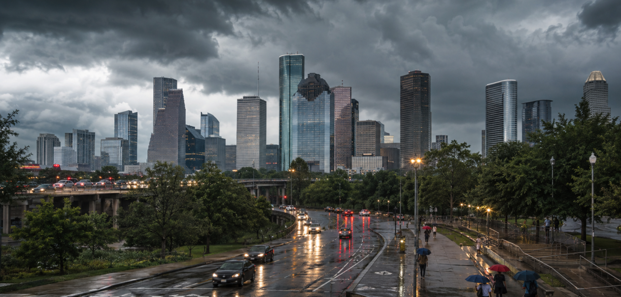
| Quick weather update: Houston stays hot and humid Friday, with a chance for scattered showers and thunderstorms. The latest National Weather Service outlook puts Houston around 96°F, while heat index values across the region may reach roughly 102–108°F. Storm activity is expected to be more favored south of I-10, and weekend rain chances generally ease while the heat remains. |
Houston weather is back in the spotlight after showers and thunderstorms returned to parts of Southeast Texas. Click2Houston highlighted the return of scattered storms in its August 27 forecast, while Space City Weather pointed to a boundary moving into the region as an important reason rain chances increased. The forecast has continued to change, so the newest Friday update is important for anyone making outdoor plans.
The biggest message for Friday is simple: rain is possible, but not everyone will see it. At the same time, summer heat and humidity remain a major part of the forecast. That means Houston residents may move from a quick downpour or thunderstorm back into very hot conditions within a short period of time.
Houston Weather Today: What to Expect on Friday
The National Weather Service Houston/Galveston office says hot and humid conditions will continue. Its Friday outlook calls for scattered showers and thunderstorms across Southeast Texas, with activity mainly focused south of Interstate 10. Inland highs are expected to reach roughly 96–100°F, while areas near the beaches stay closer to the upper 80s and low 90s.
For Houston itself, the latest NWS tabular forecast lists a high near 96°F and around a 20% daytime chance of precipitation. The wider regional forecast still supports scattered storm development, so rain chances can vary noticeably from one part of the metro area to another.
| Friday Weather Factor | Latest Outlook |
| Houston high | Around 96°F |
| Rain chance in Houston | About 20% during the day |
| Regional storm focus | Scattered storms, especially south of I-10 |
| Regional heat index | About 102–108°F |
| Overall feel | Hot, humid, with isolated/scattered storm interruptions |
Why Did Rain and Thunderstorm Chances Increase?
Much of August has been hot and relatively dry, but a boundary moving into Southeast Texas helped create a better setup for showers and thunderstorms. Space City Weather described the stronger Thursday window as beginning north of Houston during the afternoon and shifting toward Houston and the coast later in the day.
That Thursday setup matters because it explains why the weather changed after a long stretch of summer heat. On Friday, the pattern is less straightforward. Some neighborhoods may stay dry and sunny for much of the day, while others may get a short burst of heavy rain, thunder, or gusty winds from a passing storm.
This is typical of warm-season weather in the Houston area: storms can be scattered rather than widespread. A low citywide rain percentage does not mean every location has the same risk at the same time.
When Could Houston See Rain?
For Friday, the official regional outlook favors scattered showers and thunderstorms, with the better concentration south of I-10. Coastal and southern areas may have a somewhat better opportunity for rain than locations farther inland, although pop-up storms can still develop elsewhere.
Because summer thunderstorms can form quickly, the safest way to plan is to check live radar before leaving for a long outdoor event. A neighborhood that is dry at noon can still see a storm later, while another part of the metro may receive little or no rain at all.
Heat Is Still a Major Part of the Houston Forecast
The return of rain does not mean Houston is getting a real break from summer heat. The National Weather Service expects inland temperatures in the upper 90s in parts of Southeast Texas, with heat index values around 102–108°F. High humidity makes the air feel hotter than the measured temperature.
FOX 26 Houston also reported Thursday night that widely scattered storms were possible Friday, followed by a hotter weekend with lower shower chances. Its forecast noted that inland highs could reach the upper 90s and heat index values could climb above 105°F. View the FOX 26 Houston weather update.
People spending time outside should pay attention to both rain and heat. A storm may briefly cool one area, but humid conditions can return quickly after the rain ends. Light clothing, shade, regular water breaks, and flexible outdoor plans are sensible during the hottest part of the day.
Houston Weekend Weather: Hotter With Lower Rain Chances
The weekend looks somewhat quieter than the stormier period that moved through Thursday. The latest NWS Houston metropolitan forecast keeps Saturday near 96°F with roughly a 20% daytime rain chance. Sunday is also forecast near 96°F, with the daytime rain chance dropping closer to 10%.
In practical terms, this means many people may get long dry periods this weekend, but the heat remains. Inland spots can still feel hotter than the official air temperature because of high humidity. If you have outdoor plans, the early morning or later evening may feel more comfortable than the peak afternoon hours.
What Changed From the Earlier Forecast?
Earlier forecasts showed a wetter setup for Friday, with some outlooks placing rain chances higher. By late Thursday night and early Friday, the NWS tabular forecast for Houston had shifted toward a lower daytime precipitation chance of about 20%. This is a good example of why weather stories should be updated as new model data and observations arrive.
The change does not mean rain has disappeared. It means storms are expected to be more scattered, with uneven coverage across the Houston region. Anyone searching for “Houston weather today” should therefore treat the forecast as a mix of heat, humidity, sunshine, clouds, and a smaller but still real chance of thunderstorms.
Tropics Update: Tropical Storm Dolly Is Being Monitored
The Atlantic hurricane season is also active. The National Hurricane Center was issuing advisories on Tropical Storm Dolly early Friday, saying the storm was moving rapidly westward and that interests in the Leeward Islands should monitor its progress. At the time of this update, Dolly is not the main driver of Houston’s immediate Friday weather forecast.
For official tropical updates, follow the National Hurricane Center rather than relying on social-media posts or old forecast graphics.
What Houston Residents Should Know Before Heading Out
- Keep an umbrella or light rain jacket nearby if you will be out for several hours.
- Check radar before outdoor plans because storm coverage may be very uneven.
- Do not ignore the heat just because rain is in the forecast; humidity can keep the heat index high.
- If thunder is nearby, move indoors and wait for the storm to pass.
- Use official local forecasts for the newest warnings, advisories, and radar information.
Houston Weather FAQs
Is it going to rain in Houston today?
Rain is possible Friday, but it should be scattered rather than constant. The latest NWS Houston forecast gives the city about a 20% daytime precipitation chance, while the broader regional outlook expects scattered showers and thunderstorms, especially south of I-10.
How hot will Houston get today?
Houston is forecast to reach around 96°F. Across Southeast Texas, inland highs may reach 96–100°F, and the heat index could run roughly 102–108°F.
Will it rain in Houston this weekend?
A stray shower or thunderstorm remains possible, but the weekend trend is drier. The latest NWS metro forecast shows about a 20% daytime rain chance Saturday and around 10% Sunday, with highs near 96°F.
Is Houston under a weather warning right now?
At the National Weather Service Houston/Galveston update early Friday morning, no watches, warnings, or advisories were listed for the local forecast area. Because alerts can change quickly, readers should always check the official NWS page for the newest status.